On Monday & Tuesday, June 8-9, 2020 I backpacked the Manistee River Loop Trail in the Manistee National Forest. From Alltrails (https://www.alltrails.com/explore/trail/us/michigan/the-manistee-river-trail):
The Manistee River Loop Trail is a 19.3 mile heavily trafficked loop trail located near Mesick, Michigan that features a lake and is rated as moderate. The trail offers a number of activity options and is best used from March until October. Dogs are also able to use this trail but must be kept on leash.
https://www.alltrails.com/explore/trail/us/michigan/the-manistee-river-trail
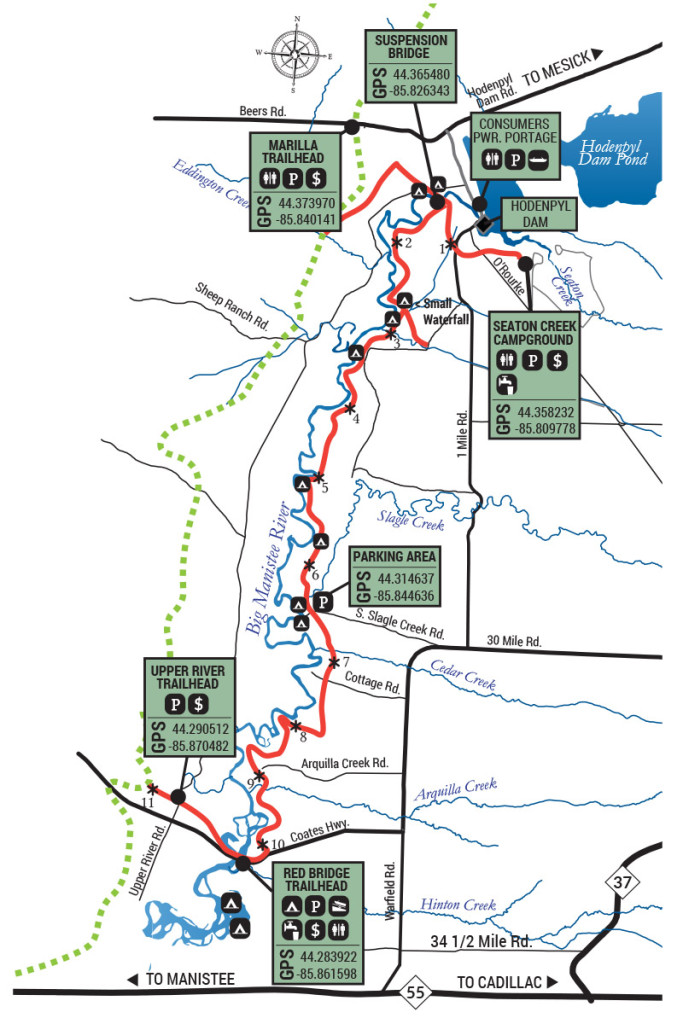
I parked at the South side of the loop, at Red Bridge. There were a few camp sites and a pit toilet there as well. I didn’t get there too early so it was almost noon by the time I started my hike.
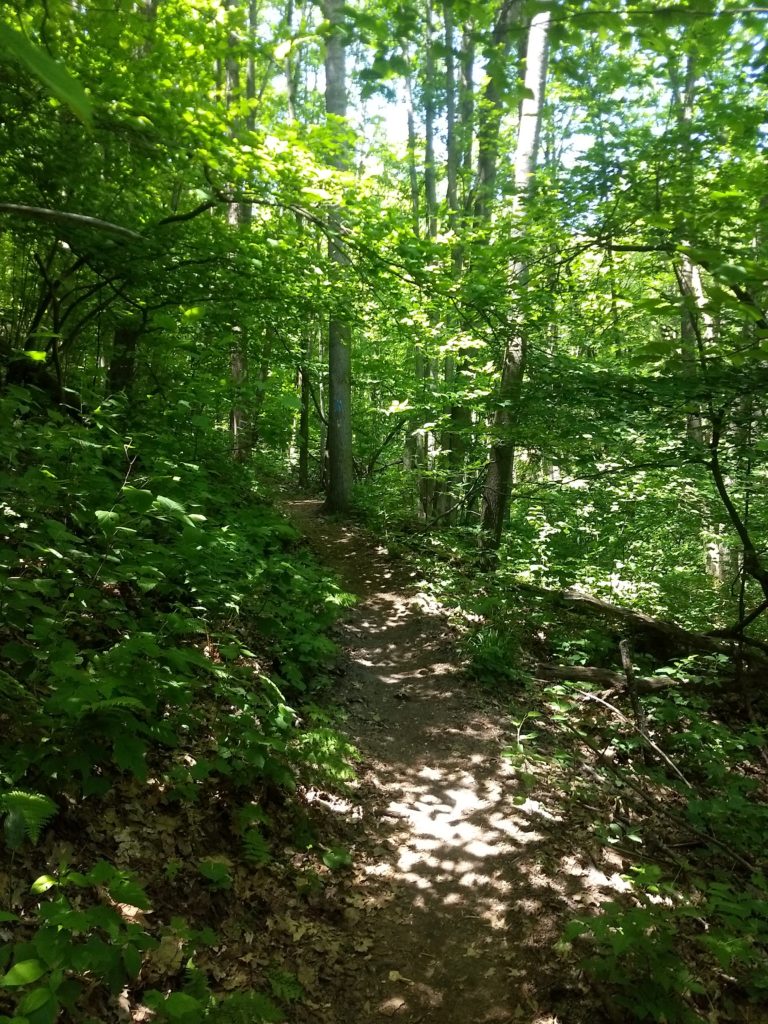
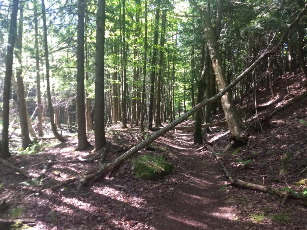
I hiked the loop in a clockwise direction, following Manistee River trail for a short spurt 25 minutes or so West-Northwest to hit the North Country Trail, and then taking NCT most of the way up. The NCT goes through some beautiful forest area.
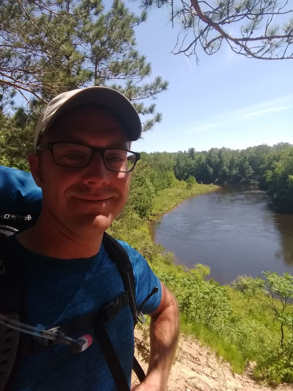
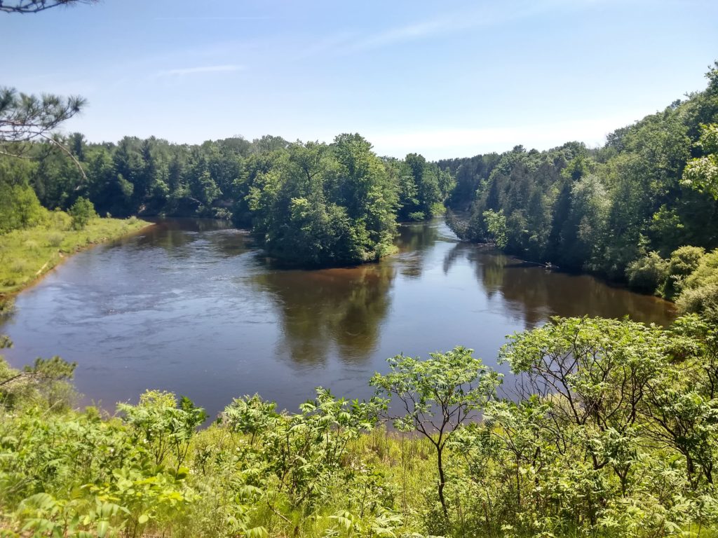
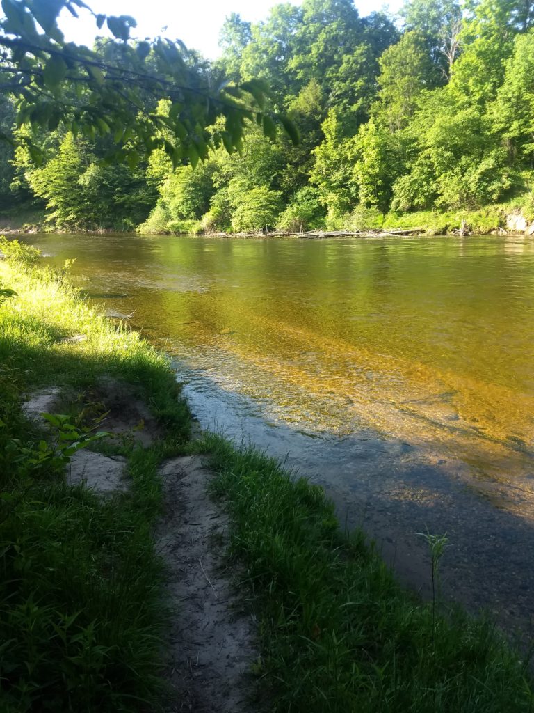
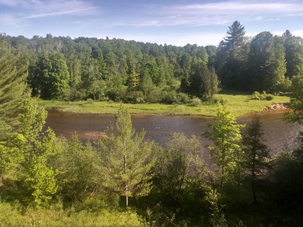
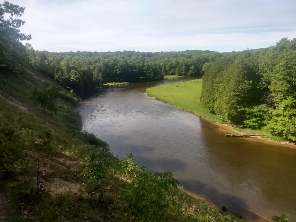
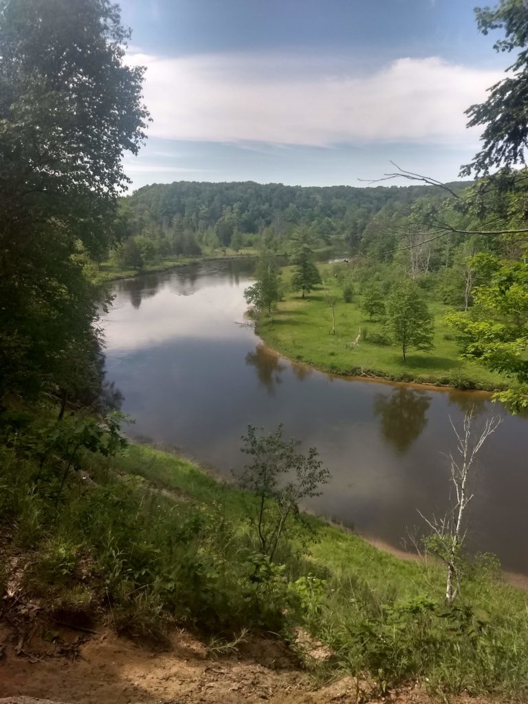
There was really no water on this stretch, and no designated camp sites, although there was evidence of places where people had set up camp. The trail was very easy to follow and clearly well-traveled. After about 3.5 hours (9.5 miles) up the East side, I reached the upper end of MRT and departed NCT. This yielded a first nice view of the Manistee River.
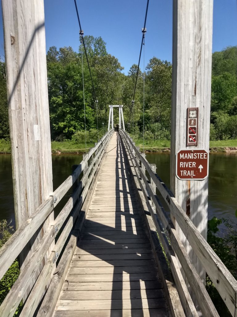
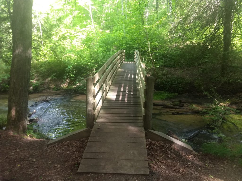
A short walk further Northwest led to a cool suspension foot bridge to get to the East side of the river.
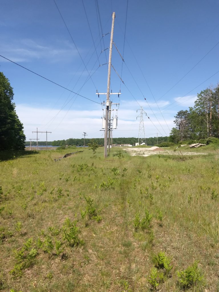
Since it was only about 4:15, rather than turning Southward to immediately start taking the MRT back down, I decided to hike to Seaton Creek campground. I was hoping to be able to see the dam along the way. Unfortunately I could not see the dam, and the trail to the campground was long and not too exciting. There were several sections where I briefly emerged from the forest to a clearing for power lines.
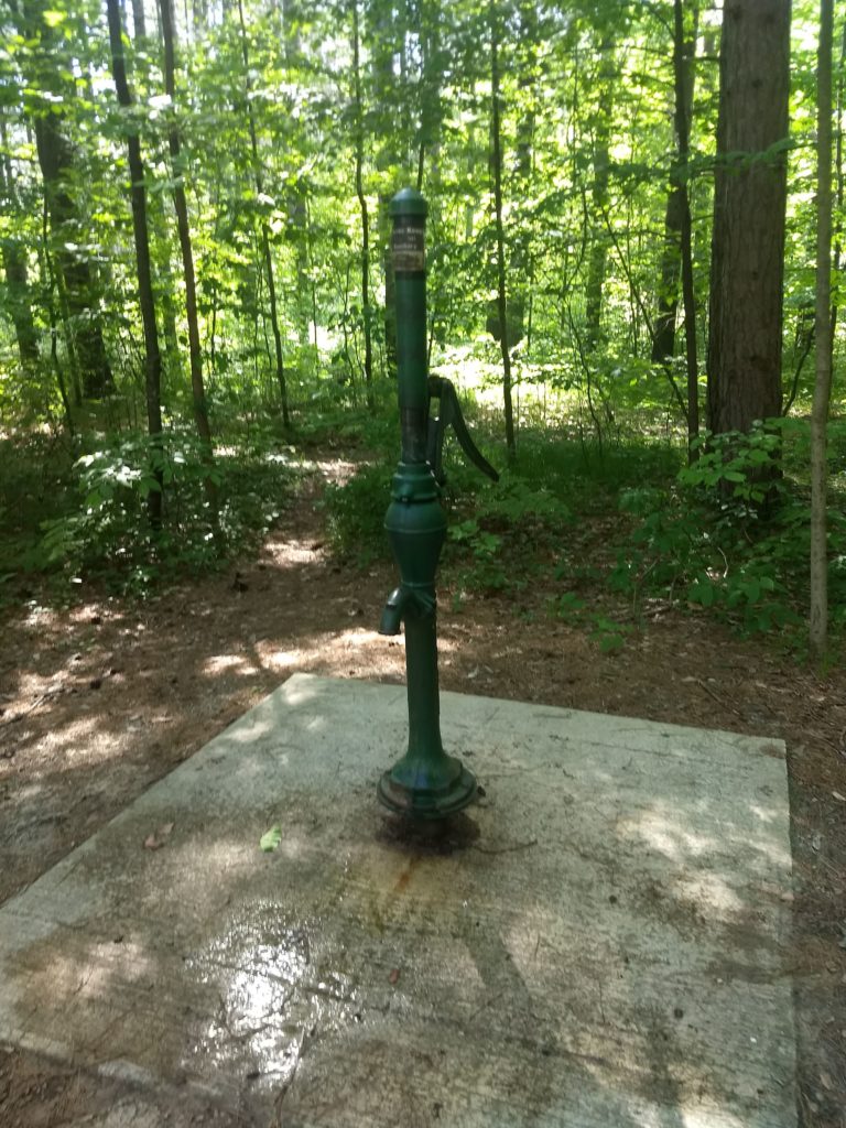
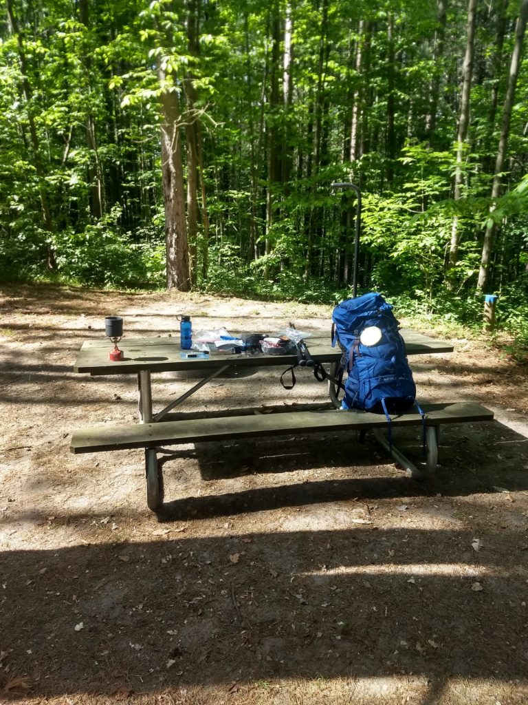
There wasn’t much exciting at the campground but some empty sites with picnic tables and a pump to pump water at. I was able to refill my water bladder and water bottle and I got to sit at a picnic table and cook my supper and read a little bit though!
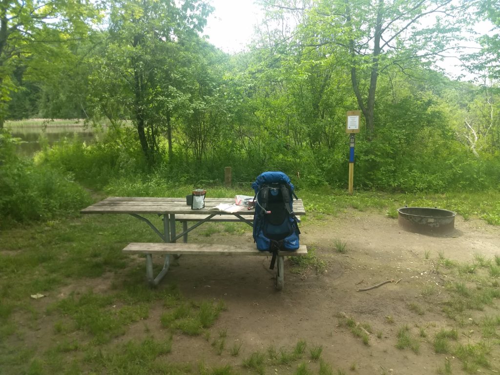
I tried out a dried Lasagna backpacking meal which was just so-so. After dinner I had to retrace a mile or so to get back to MRT and then headed South along the river. By this time I was around 14 miles or so and starting to get tired of hiking so I was ready to look for a camp site. Camp site 1C was available and had some nice logs and a fire ring and was near the river so I decided to set up camp for the night there around 6:30.
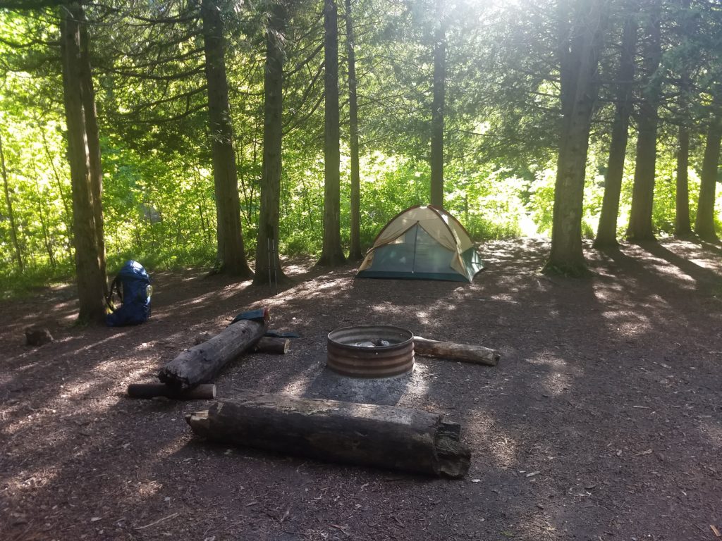
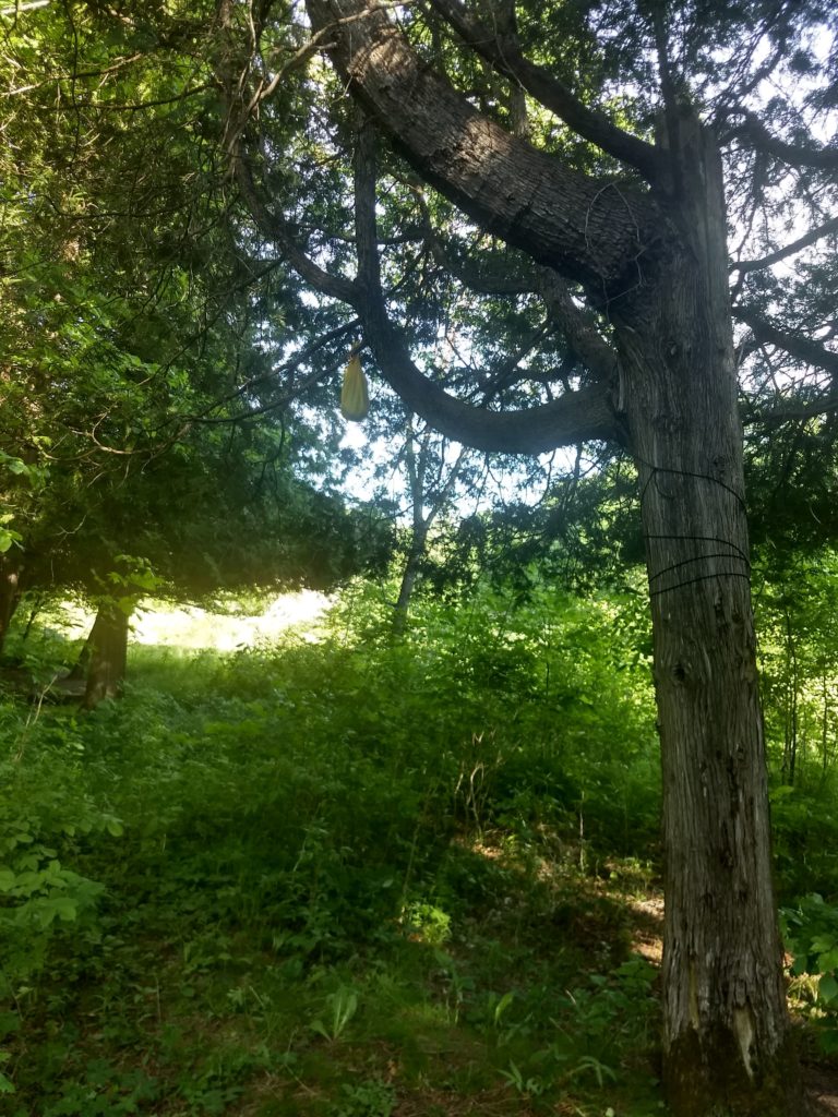
I hung my food, garbage, and anything else scented up from a tree a little way away just in case.
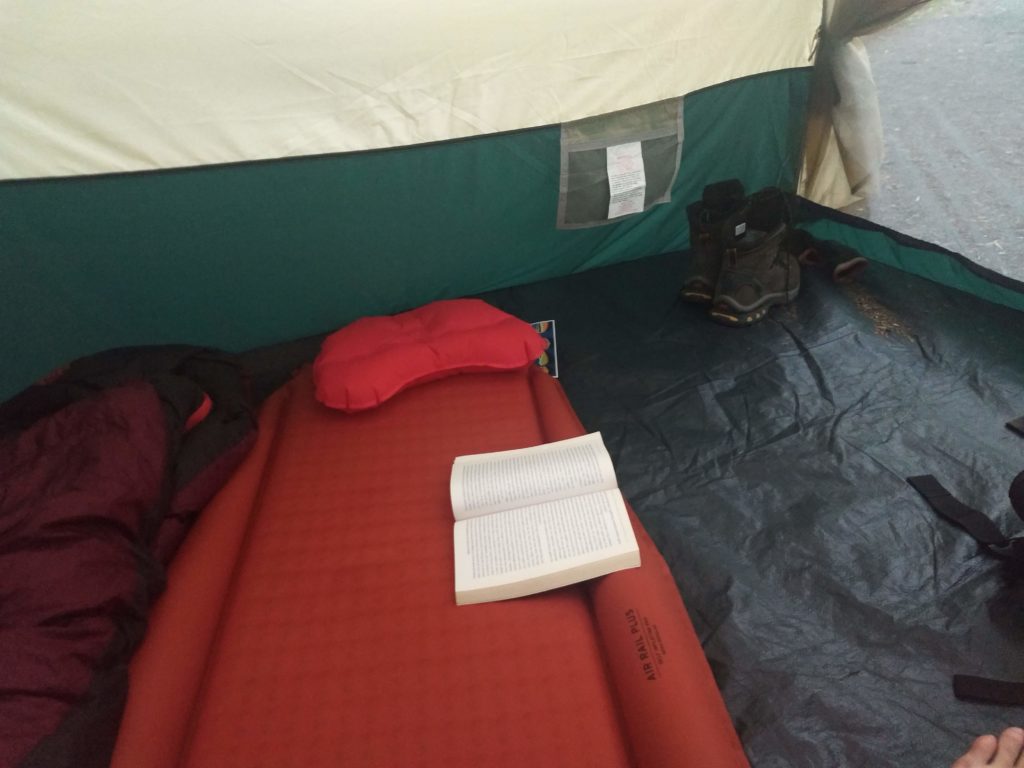
Although I was tired it was still pretty warm so I read in my tent for a couple hours to avoid the mosquitoes.
After the sun fell behind the trees it began cooling down and I could fall asleep well while listening to the river close to 10pm. I woke up hearing a creature walking around at 1:30am. I didn’t see what it was but my guess is it was a racoon. I woke up again at 3:30am hearing either wolves or coyotes a way down the river. Other than that it was a good night’s sleep!
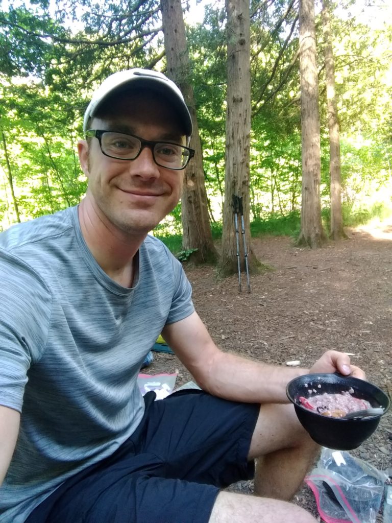
Nothing disturbed my food back in the night and in the morning I made some oatmeal with fruit. It was a good backpacking breakfast!
After breakfast I pumped some water using my water filter to replenish my water bottle. There was a nice place to do this right near my camp site.
After breakfast, pumping water, applying blister patches, and packing up camp I was ready to head out again. It was almost 9am.
MRT was quite different from NCT. There was more water, with several streams of various sizes to cross that were all heading to the Manistee River.
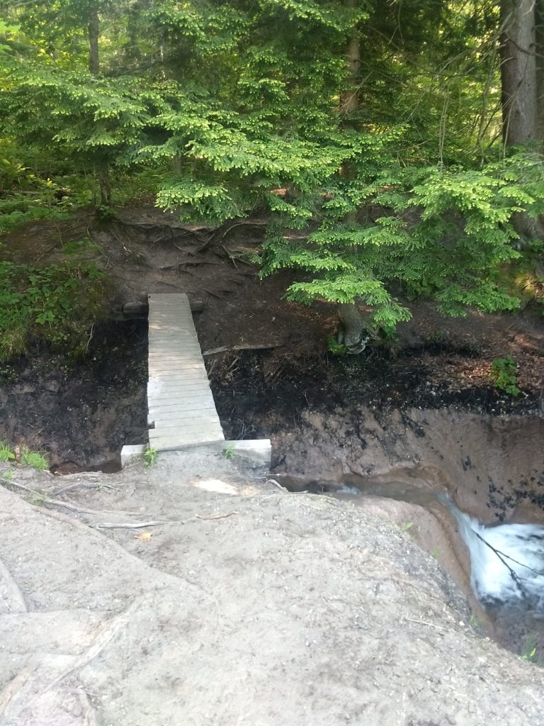
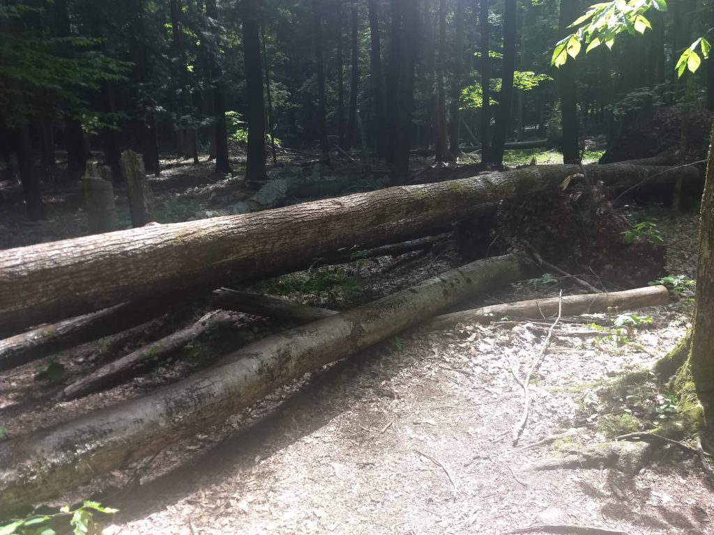
There were many fallen trees, including over the path to navigate around.
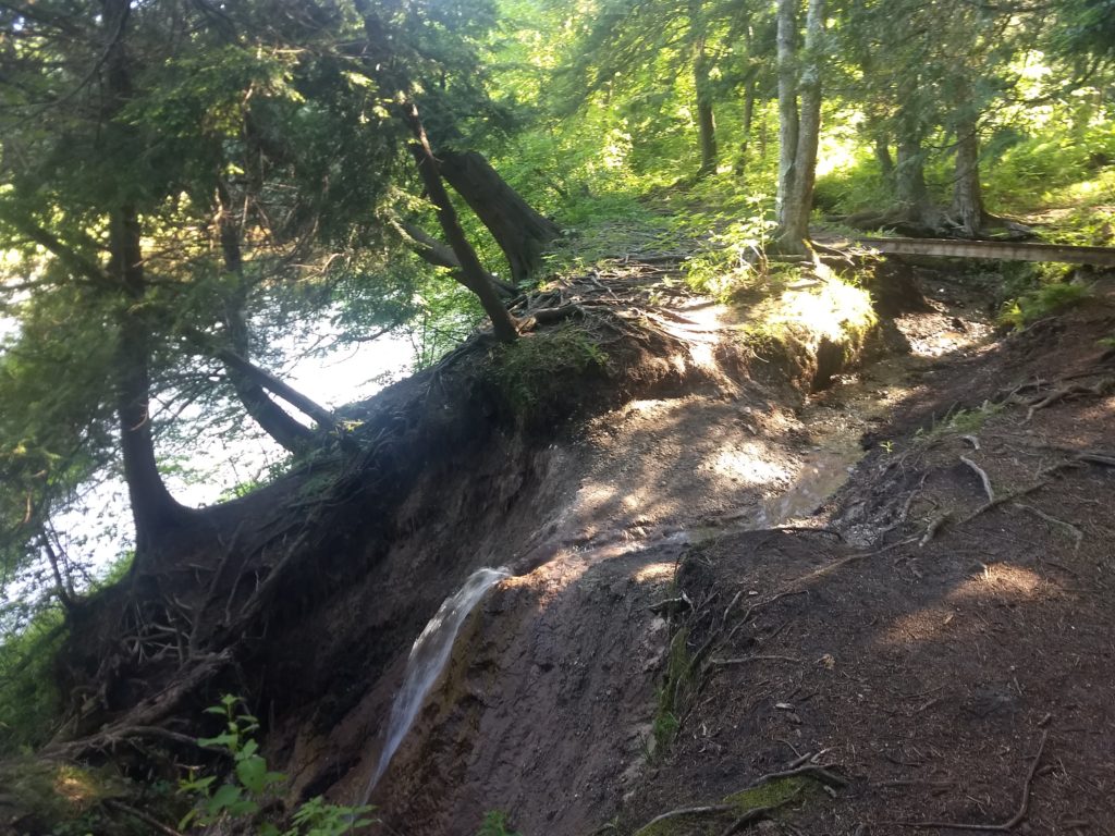
Much of the Manistee River Trail was right along the river, but there were several places that it had to meander a bit to go around a big ravine or stream.
It took about 3.5 hours to hike MRT from site 1C where I camped back down to Red Bridge, which was around 8.4 miles, so I had a little slower pace than NCT the first day. I got there around 12:30 and enjoyed taking off my hiking boots! Since it was lunch time and I was hungry I made my Spicy Chicken backpacking meal there for lunch before heading home. It was so-so as well.
I had to drive a little while before getting a cell signal back again. Overall it was an excellent two-day hike / getaway!
I’m trying a new app The Hiking Project to record my hikes. The GPS recording seemed accurate and the distance seemed right, but for some reason the duration is messed up, and I’m not sure how accurate the elevation measurements are either.
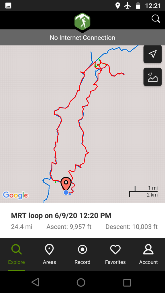
Trip stats:
- Driving: 276mi, 4.5h
- Hiking: 24.4mi, 9.5h
- Total pack weight: 32lbs
- Water capacity: 3.5L